Climate Stories


Fig. Magenta (black) color rings and curves, respectively, represent cyclonic (anticyclonic) eddy boundaries and associated pathways overlaid on the Sea Level Anomaly data

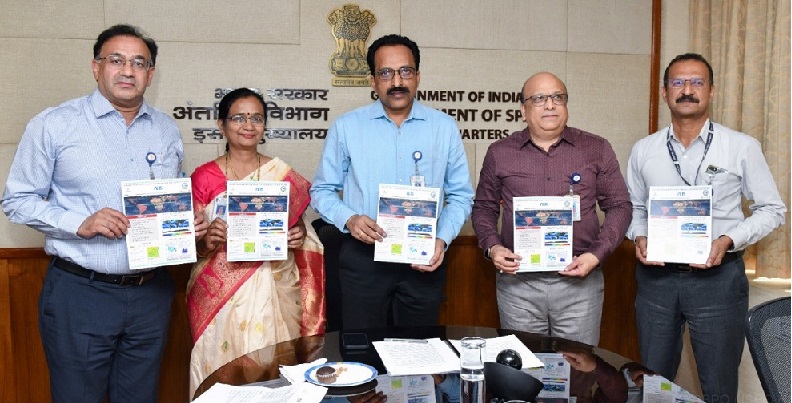
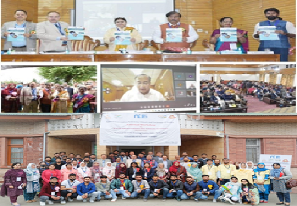
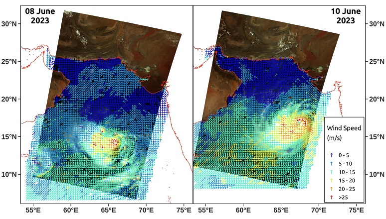
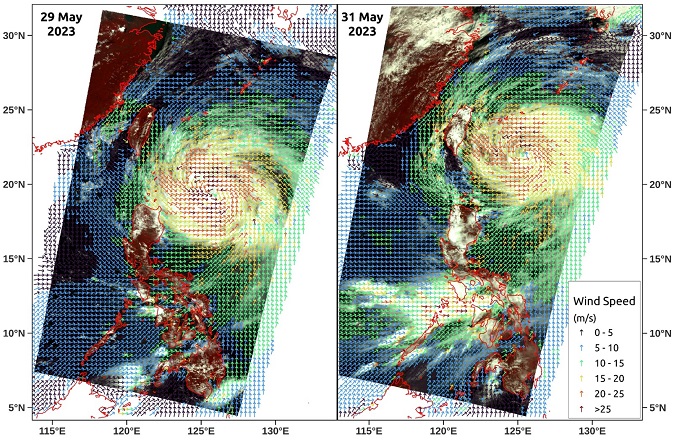
Mesoscale Eddies in the north Indian Ocean

Satellite-measured daily sea level anomaly data are used from 1993 to 2021 to study the characteristics of mesoscale eddies in the north Indian Ocean. The procedure utilises information on the vorticity vector, Okubo-Weiss velocity gradient tensor and its threshold and Lagrange transport. The continental margin of the Arabian Sea (AS) with its western and northeastern flanks, the mouth of the Gulf of Aden, the Lakshadweep Sea, the western margin of the Bay of Bengal (BOB) and the Andaman Sea have been depicted as the hotspot regions for eddy occurrences. Read More..

Highlights

Earth & Climate Sciences Area conducted training program on “Advanced Data Assimilation and Inverse Modeling in Earth System and Climate Sciences” from January 21 to 24, 2025. More..

Under the NICES program, Earth & Climate Sciences Area (ECSA), NRSC conducted workshop entitled, ‘Atmospheric Lightning Monitoring, Forecasting & Mitigation’ during 28-29 November 2024. More..

National Remote Sensing Centre (NRSC) conducted a CSSTEAP Short Course on "Satellite Remote Sensing for Ocean Applications" from 14-25 October 2024 at the IMGEOS facility, Shadnagar. More..

Interannual variations of CO2 and CH4 for a decade between the years 2013 and 2022 over the suburban city of Shadnagar, near Hyderabad, India. Visit..

Study demonstrating the potential of C-band SAR for identifying the signatures of convective rain cells. Read more..

Wind power potential at 100m above ground level is close to 1.74 kWhm-2day-1 over India’s mainland and 6.45 kWhm-2day-1 over India’s Exclusive Economic Zone (off-shore region). More..

Temperature-based Heat (TBH), Moisture and Temperature-based Heat (MTBH) maps indicate areas with potential for extreme heat conditions through daily maximum temperatures (in °C) and their deviation from climatological values. Visit..

Intensification of fog due to frequent moisture incursions, called Atmospheric River (AR), from the surrounding Seas is presented. More..

0

ECVs

0

Products

0

Data Volume (in GB)

0

Downloads

0

Unique Users

About

NICES is a multi-institutional venture with participation of ISRO/DOS centres and other Departments and national Institutions under various Ministries which will help to strengthen the information base with contributions (in-situ observational and model outputs) from the participating organisations. NICES has been functioning under the guidance of NICES-Programme Management Council (PMC) with a composition of members from inter and intra-departmental institutions under the Chairmanship of Director, NRSC.

NICES envisages realisation of national level climate database generation, derived from Indian and other Earth Observation satellites from polar and geostationary missions for climate change impact assessment and mitigation.

What We Do

service-avater-image

Ocean dynamics products, Chlorophyll Concentration, Ocean Color etc. at different scales. More..

Atmospheric Processes monitoring and modelling. More..

Land Use, Soil moisture etc. as ready to use product. More..

Snow fraction datasets. More..

A dedicated atmospheric research laboratory and suite of field instruments to study climate parameters. Know More..

Various awareness program for Students/Professionals/Scientific community. More..

Collaborations

Estimation of CO2 fluxes in the shaded coffee ecosystem region of Karnataka

Collaboration with Central Coffee Research Institute for the Carbon Flux Studies with Eddy Covariance in the shaded coffee ecosystem region of Karnataka

Publications

Unravelling the Interannual Changes in the Decade Observations of GHGs as Climate Indicators

Interannual variations of CO2 and CH4 for a decade between the years 2013 and 2022 over the suburban city of Shadnagar, near Hyderabad, India is reported here. Know More..